The Visitors Bureau of

HUSS
VALLEY

The only destination where every visit sets a personal record.

Huss Valley welcomes 40,312 visitors a season to scenery no map has agreed to confirm. Every arrival photo is taken within seconds of arrival — always mid-stride, always from the front. Guests describe the views as "behind them." The valley offers one trail, one direction, zero benches, and a 100% return rate. The bureau is proud of every one of these numbers.

TRAIL STATUS: CHECKING THE TRAILHEAD…
CURRENT GAP: 70 M · UPDATED CONTINUOUSLY · NOT BY US
▼ READ THE ADVISORIES BEFORE ARRIVAL. YOU WILL NOT READ THEM AFTER.
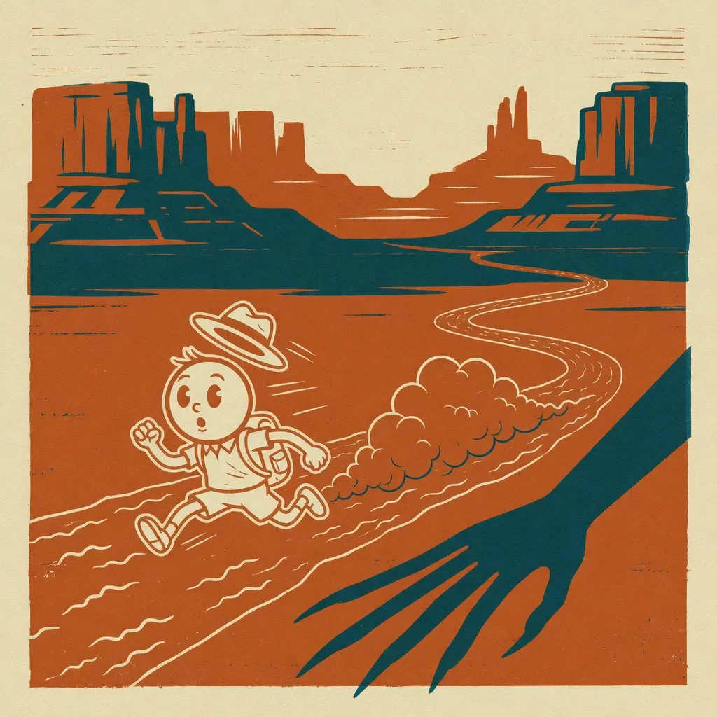
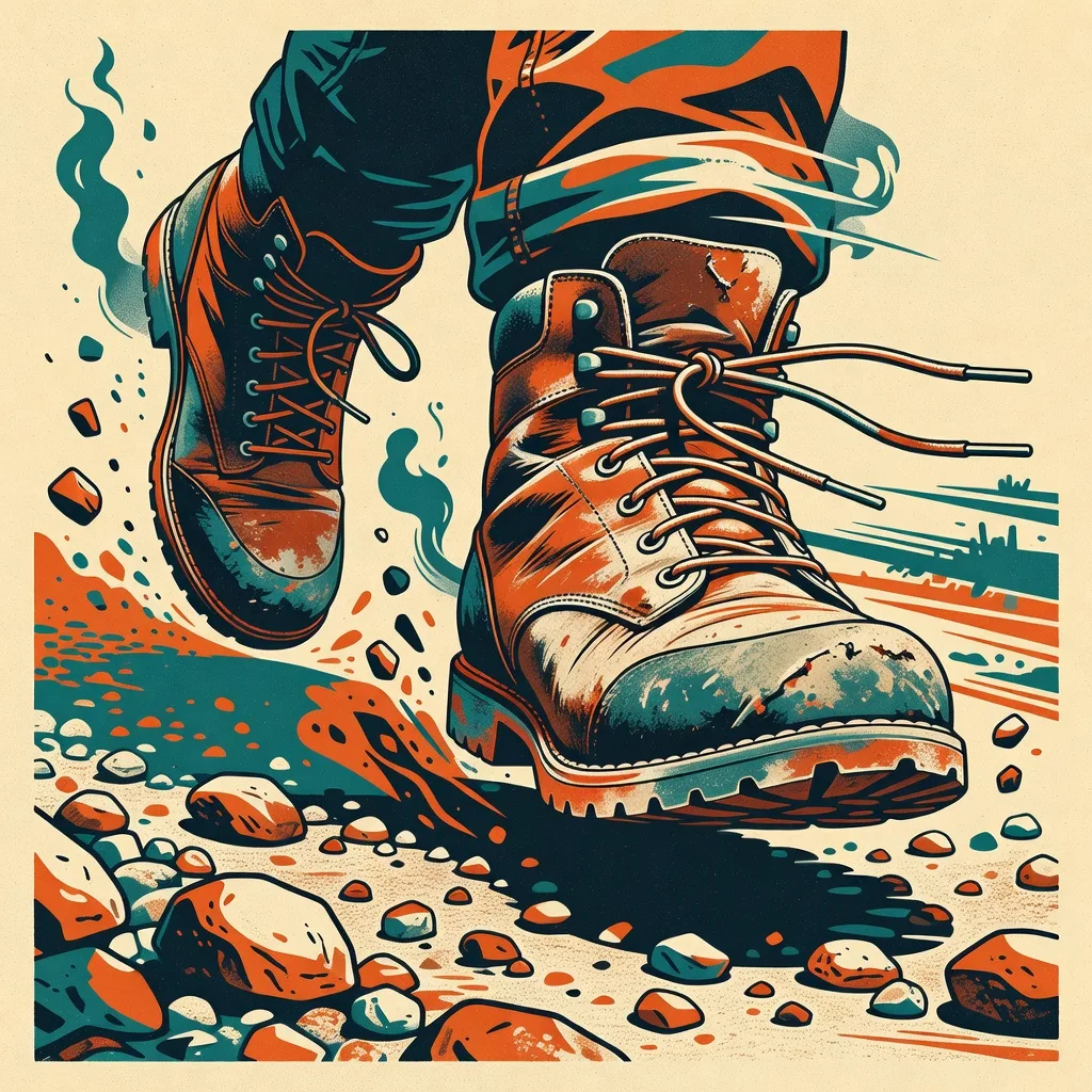
Official Huss Valley visitor, mid-sprint, as all official portraits are.
SEE HUSS VALLEY · BRIEFLY · FROM THE FRONT
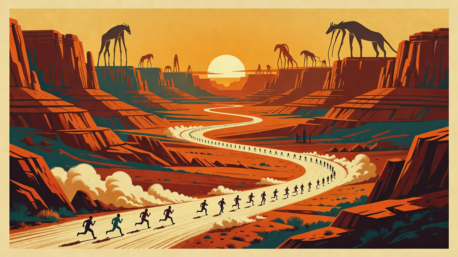
Posted at the trailhead · Laminated for your convenience

Travel Advisories

Huss Valley currently holds more active travel advisories than destinations that exist. The bureau posts them here so you can read them now, at rest, in comfort — a state you will not experience again after arrival.

ADVISORY №001There is no entry fee. The fee is cardio.
ADVISORY №004Trail difficulty: you will find out. Most visitors find out within seconds. The bureau considers this efficient.
ADVISORY №009Benches have been removed. Not by us.
ADVISORY №013If you hear breathing that is not yours: excellent pace. Maintain it.
ADVISORY №021Lost items may be retrieved by returning to where you dropped them. No one has.
ADVISORY №034Advisories 22 through 33 are posted further down the trail. Nobody has read them slowly enough to confirm their contents.
ADVISORY №035Do not stop to read this advisory.
OFFICIAL BUREAU NOTICEThe CA has not dropped yet — anything claiming otherwise is fake. Report imitation valleys to any ranger you can catch.
One per visitor · Non-transferable · You are already holding it, keep moving

Visitor Permit — Contract Address

TRAIL OPEN
$HUSS
POURING…
The commemorative Huss Valley coin, poured at the trailhead.
Huss Valley Visitors Bureau · Permit Registry
Permit №1 of 1 — The Coin
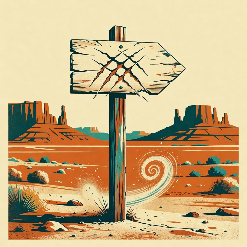
· · · — the sign has not been carved yet — · · ·

$HUSS, the valley's commemorative coin, is being poured at the trailhead right now. When the sign is carved, the address appears here first. Until then: The CA has not dropped yet — anything claiming otherwise is fake.

The sign is carved. The trail is open. It was always open. That was sort of the problem.

Present this address to your usual outfitter. Then run.
Bureau facility · Free of charge · The fee, again, is cardio

Official Pace Trainer

The bureau provides this simulator so you arrive with realistic expectations. Tap SPRINT to open a gap. The gap closes on its own. That is not a malfunction. That is the whole trail.

DAY 1 — FIRST VISIT
??
You, at regulation pace.
GAP
42m
SPRINTS 0 · MILES 0.00 · MILES RECORDED ON PURPOSE 0
Trail audio is a heartbeat. Yours, probably. Off by default, like all good things.
Route guide · One direction available

The Trail

One trail. It goes forward. Reviewers describe the return leg as "also forward, somehow."

Mi 0 — The Trailhead

You are already running. Nobody starts you. It is more of a reflex the valley provides free of charge.

Mi 1 — The Switchbacks

The fastest mile ever recorded was not recorded on purpose. It was recovered from a dropped phone, still filming.

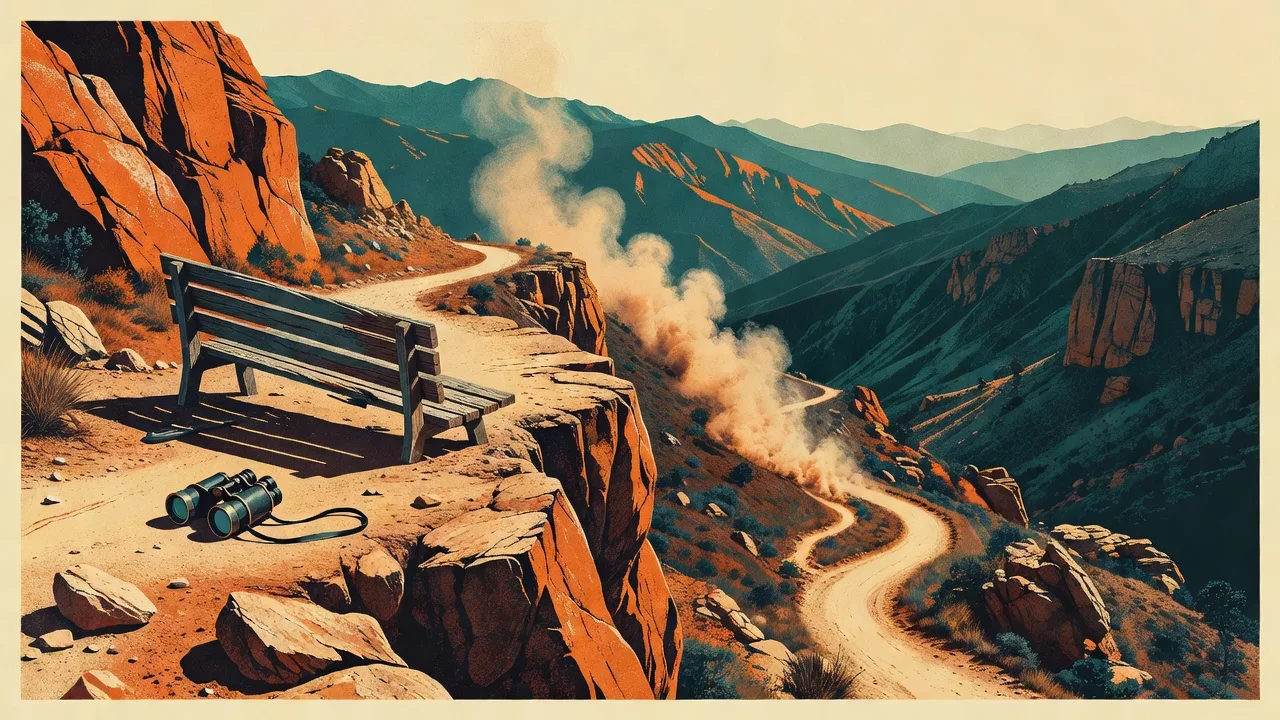
Mi 2 — The Overlook

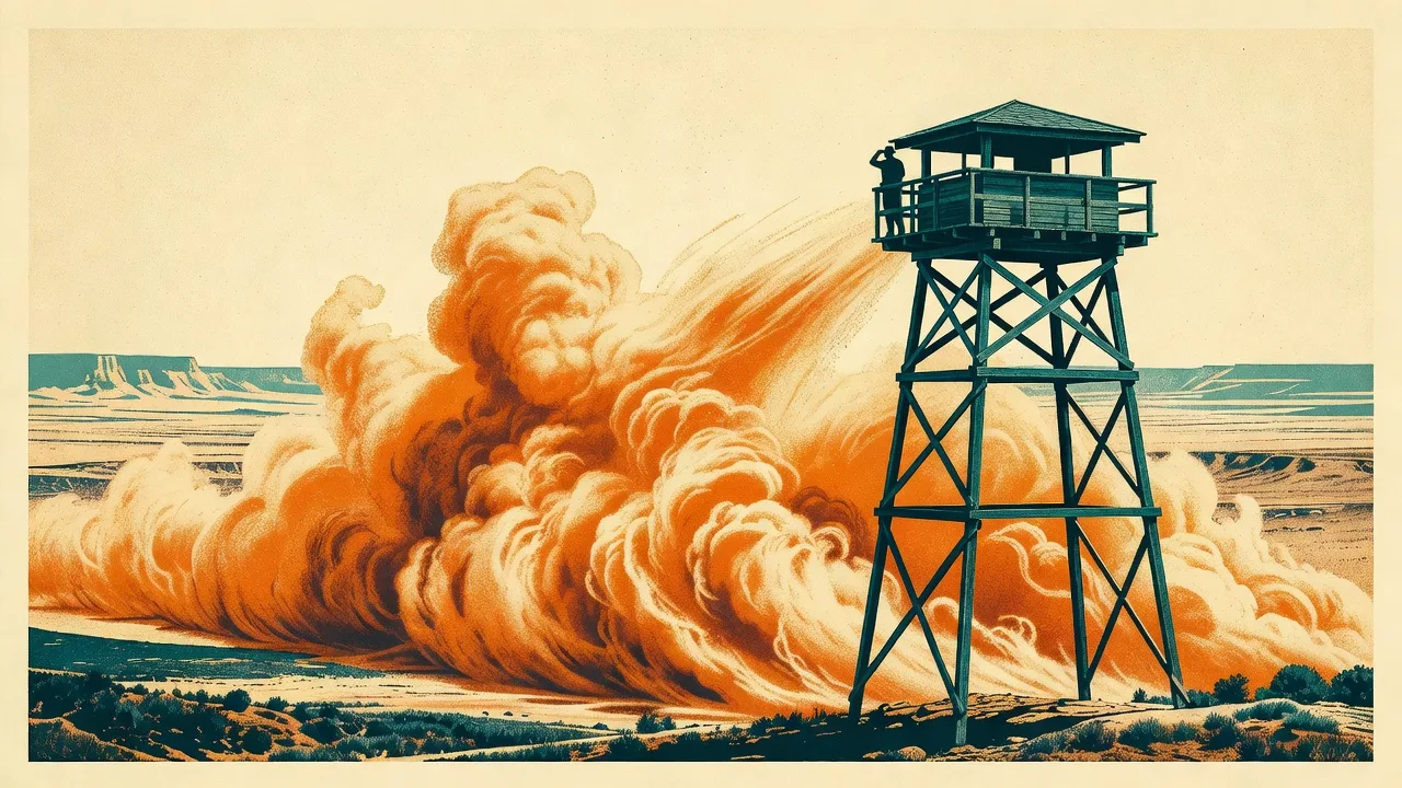
Panoramic views of everything except the one thing you want to see, which is behind you, where you will not look.

Mi 3 — The Meadow

Wide open. Visibility for miles. This has never once helped.

Mi ? — The Exit

Location varies. Reported to be ahead of you. Everything is ahead of you if you refuse to turn around.

Sample Itinerary · As Published by the Bureau

9:00 AMArrive at the trailhead. Welcome!
9:00 AMDepart the trailhead area at an excellent pace.
9:02 AMThe Overlook. Panoramic views, available peripherally.
9:04 AMPhoto opportunity. Visitor photos develop blurred in one consistent direction. We frame them anyway.
9:07 AMConclude your visit. Most guests conclude around now, at around this speed.
DAY 3Return. This item schedules itself.
40,312
Visitors this season
0
Exit surveys completed
40,311
Pens recovered on trail
100%
Return rate

One pen remains unaccounted for. If you see it, do not slow down for it.

What is chasing me?
Trail difficulty: you will find out.
Can I stop?
The valley fully respects your autonomy. The thing behind you has declined to comment.
Is the valley real?
It appears on no map. It accumulates travel advisories anyway. Draw your own conclusions, at pace.
Why do people go back?
Day 3: he went back. That is the entire finding. The bureau has stopped investigating, primarily by running.
Surveillance network · 8 cameras · All functional

Trail Cam Network

Every camera faces the trail. Visitors insist the cameras face the wrong way, but will not say which way is right. Click any feed to enlarge. The feeds do not enlarge for long, in the valley's experience of things.

Trail cam 01, the trailhead.CAM 01 · TRAILHEADREC
Arrival, second one. Note the immediate form.
Trail cam 02, the switchbacks.CAM 02 · SWITCHBACKSREC
No visitor has ever been photographed facing the camera. Or anything.
Trail cam 03, mile two.CAM 03 · MILE 2REC
The fastest mile ever recorded was not recorded on purpose.
Trail cam 04, the overlook.CAM 04 · OVERLOOKREC
Visitors describe the view as "behind me somewhere."
Trail cam 05, the creek crossing.CAM 05 · CREEKREC
The water is also moving quickly. It gets it.
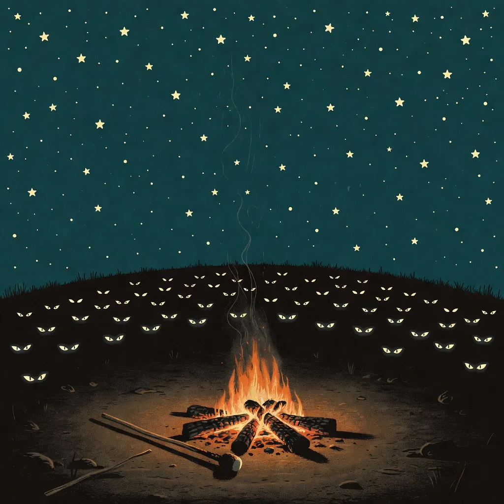
Trail cam 06, the treeline.CAM 06 · TREELINEREC
Something entered frame 0.4 seconds after this capture. The camera declined to elaborate.
Trail cam 07, the rest area.CAM 07 · REST AREAREC
Unused.
Trail cam 08, the exit.CAM 08 · THE EXITREC
Day 3: he went back.
Updated whenever something changes · Something is always changing

Trail Conditions

Current price
per commemorative unit
Valley valuation
market cap, USD
24h movement
something is always gaining
Foot traffic, 24h
volume, USD
Visitors inside
none have checked out

Board activates when the pour settles

Awaiting the first recorded split. The fastest one will not be recorded on purpose.

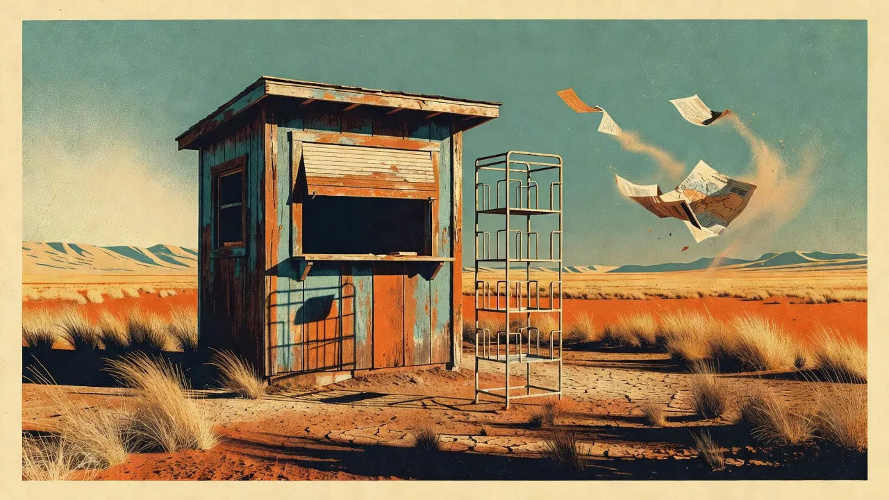
Readings supplied by the trailhead station. The station is fine. The station has stopped asking.
Recovered paperwork · One pen, still missing

Ranger's Log

Huss Valley Station · Incident & Observation Record · July 2026

07.04.26 — First footage archived. Subject arrives at 0:00. Subject is sprinting at 0:00. The interval between these two events could not be measured.
07.11.26 — The valley now holds more travel advisories than destinations that exist. It still appears on no map. Filed under: gaining.
07.19.26 — Attempted an exit interview at the trailhead. The interviewer is now also running. Reports indicate the interviewer looks great.
07.28.26 — Assessment complete. Could not determine why they return. Did not send a probe. Some findings you accept at a distance.
07.30.26 — Poured one (1) commemorative coin at the trailhead. Did not linger.
TODAY — Sign carved. Address posted at the permit station. Trail declared open; the trail was in use before the declaration finished. Filed under: open. Filed quickly.